



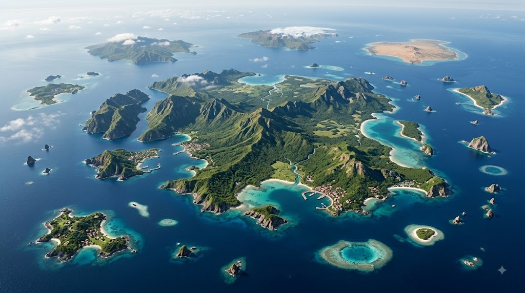
Islands occupy some of the most fascinating extremes on Earth. Some are larger than countries, while others are little more than rocky outcrops. Some support millions of people, while countless others remain completely uninhabited.
Yet one simple question has no simple answer: How many islands are there in the world?
There is no universally accepted global total. Different countries use different definitions and mapping methods. Japan’s experience shows just how dramatically modern surveying can change an island count.
Why counting Islands is so difficult
Under the United Nations Convention on the Law of the Sea, an island is a naturally formed area of land surrounded by water that remains above water at high tide.
The difficulty begins when this definition is applied to tiny landforms. Small rocks, skerries and coastal islets can be difficult to distinguish, particularly along heavily fragmented coastlines.
There is also no single international system that counts every island using identical criteria. As a result, global estimates vary considerably depending on the minimum size and mapping method used.
Japan provides an excellent example. Its earlier official count was 6,852 islands, based on a 1987 survey. A later survey by Japan’s Geospatial Information Authority counted 14,125 islands using detailed digital mapping. The increase did not mean thousands of new islands had appeared. Improved mapping allowed smaller landforms to be identified and counted separately.
Where the world’s islands are found
Island geography is closely connected to geology and climate.
Northern Europe has some of the world’s highest concentrations of islands. Sweden’s official statistics counted 267,570 islands in its 2013 survey. The figure reflects Sweden’s specific statistical definition of an island. Statistics Sweden also found that fewer than 1,000 of those islands had a permanent population.
Much of Scandinavia’s island landscape was shaped by glaciers. During the last Ice Age, moving ice carved and fragmented the region’s rocky landscape, creating thousands of islands and skerries.
Asia has a different island story. Indonesia’s Geospatial Information Agency reported 17,380 islands in its 2024 update. The country’s enormous archipelago has been shaped by volcanic activity, tectonic movement and complex coastal processes.
The Philippines, Japan and Indonesia are among the world’s best-known archipelagic nations. Canada also has thousands of islands, particularly across its Arctic Archipelago, while Chile’s southern coastline contains a vast collection of islands and channels.
Greenland: The world’s largest island
There is considerably less debate about the world’s largest island.
Greenland covers roughly 2.16 million square kilometres, making it the largest island on Earth. It is an autonomous territory within the Kingdom of Denmark.
Australia is considerably larger, but it is classified as a continent rather than an island.
Greenland is also one of the world’s most sparsely populated large landmasses. Its population is around 57,000, with most residents living along the ice-free coastal areas.
Around 80 per cent of Greenland is covered by the Greenland Ice Sheet. Most settlements are therefore concentrated along the coastal regions where the ice-free landscape allows communities to develop.
Asia’s largest island is Borneo, which covers roughly 748,000 square kilometres. It is divided among Indonesia, Malaysia and Brunei.
How small can an island be?
At the other extreme are tiny rocky islands.
Bishop Rock, off the Isles of Scilly in southwestern England, is widely recognised as the world’s smallest island with a building on it. The rocky outcrop is extremely small, while its lighthouse occupies most of the available surface.
The Bishop Rock lighthouse was completed in 1858 after an earlier structure was destroyed during construction. Lighthouse keepers later lived and worked there before the lighthouse was automated.
It is important to describe Bishop Rock carefully. It is not necessarily the world’s smallest piece of land classified as an island. Its distinction relates specifically to an island with a building.
Another tiny example is Just Room Enough Island in New York State’s Thousand Islands region. It is known for having a small house and tree on an extremely limited area of land and is commonly described as one of the world’s smallest inhabited islands.
Most islands are not permanently inhabited
The overwhelming majority of the world’s islands have no permanent population.
Sweden demonstrates this imbalance particularly well. Its official data recorded 267,570 islands, but fewer than 1,000 had a permanent population.
Many islands remain uninhabited for practical reasons. They may lack fresh water, fertile land, safe harbours or sufficient space for settlement. Others are exposed to severe weather or are simply too small to support a permanent community.
Where people do settle, however, populations can become highly concentrated. Large islands such as Java in Indonesia support enormous populations, while tiny islands can support only a handful of residents.
Islands as strategic military locations
The isolation that makes many islands unsuitable for ordinary settlement can make others strategically valuable.
Remote islands can provide locations for military bases, airfields, ports and surveillance facilities. Their geographic position can also give military forces access to important sea lanes and air routes.
Diego Garcia, in the Indian Ocean, is one of the most strategically important examples. The island became a major UK-US military facility after the forced displacement of Chagossians in the late 1960s and 1970s.
In May 2025, the UK and Mauritius signed a treaty concerning the future of the Chagos Archipelago, including Diego Garcia. The proposed arrangement would recognise Mauritian sovereignty while allowing the continued operation of the UK-US military base on Diego Garcia for an initial 99-year period.
However, the sovereignty transfer has not yet taken effect. The process has faced political and security-related uncertainty.
Guam provides another example. The US territory in the western Pacific hosts Naval Base Guam, Andersen Air Force Base and Marine Corps Base Camp Blaz. These facilities form a major US military presence in the region.
A geography without simple answers
The world’s islands reveal extraordinary geographical contrasts.
Greenland shows how enormous an island can become. Bishop Rock demonstrates how tiny a landform can be while still supporting a major structure. Scandinavia reflects the influence of ancient glaciers, while Indonesia illustrates the impact of volcanic and tectonic forces.
Even the basic act of counting islands depends on how closely we examine the coastline.
Japan’s experience makes that especially clear: its official count more than doubled not because its geography suddenly changed, but because modern mapping provided a more detailed picture of the land surrounding it.
That may be the most fascinating fact about islands. They are not simply pieces of land surrounded by water. They are records of geological history, homes for communities, habitats for wildlife and, in some cases, strategically important points that influence international affairs.
The closer we look, the more complicated the world’s islands become.
Subscribe Deshwale on YouTube
