









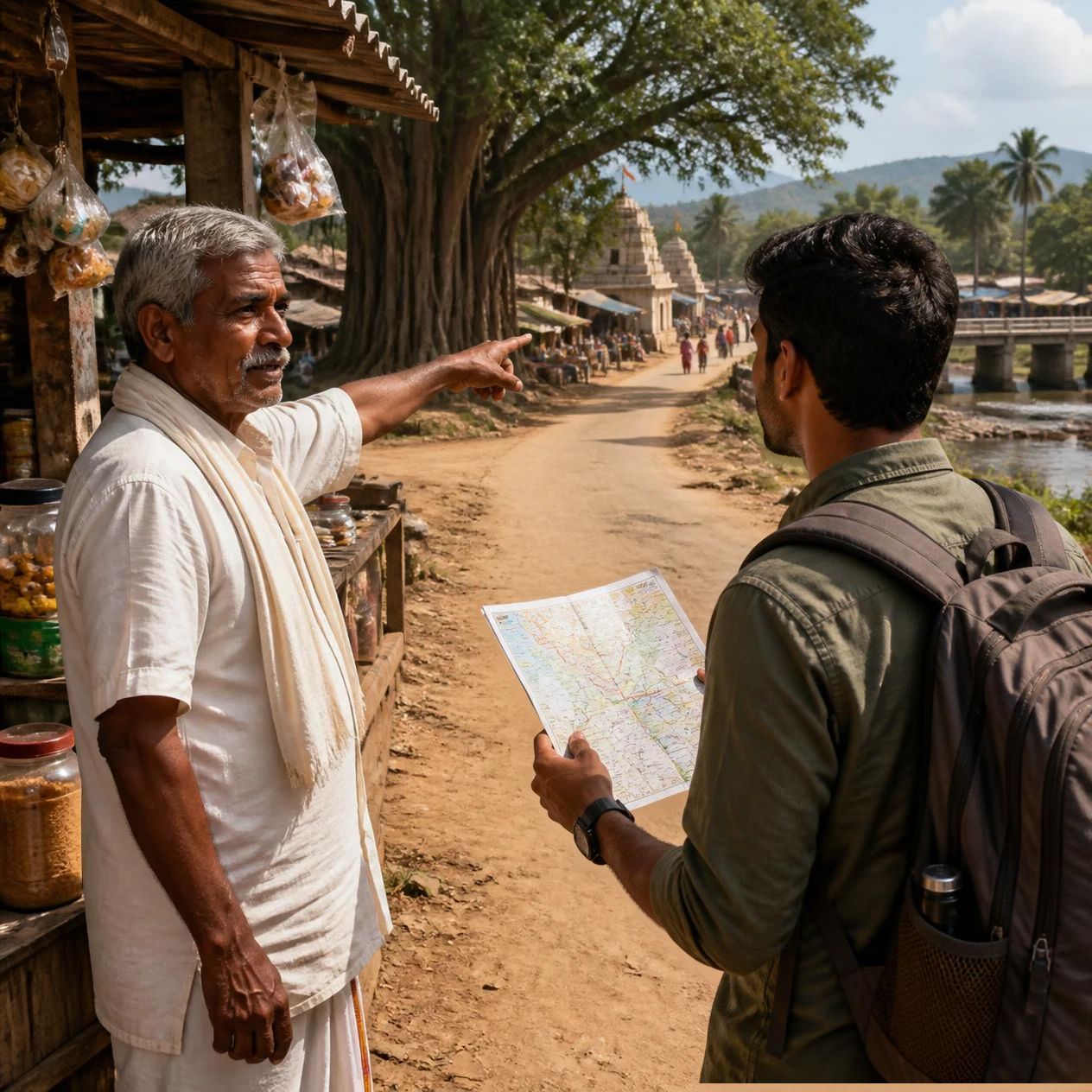
Before Google Maps could tell us to take the next left, travellers in India had a very different way of finding their way. They looked around, remembered landmarks, carried maps, followed established routes and, quite often, simply asked someone.
It sounds less precise than today’s blue line on a phone. But for generations, this was how journeys happened.
The landscape itself was a map. A river, hill, temple, market, old tree, bridge or village could become a useful reference point. Travellers did not necessarily need to know exact coordinates. They needed to know what came before and what came next.
On long routes, physical markers were important too. Roads and travel networks developed with places where travellers could stop, rest and ask for directions. The old system of sarais, for example, gave travellers more than a place to spend the night. Such established stopping points helped people understand where they were along a route.
And then there were people.
A shopkeeper might know the road to the next village. A bus conductor could tell a passenger where to get down. A postman, farmer, truck driver or local resident could often explain a route in terms that made sense to someone who knew the area.
This is perhaps the biggest difference between travelling then and travelling now: directions were often personal.
Today, we ask a phone. Earlier, we asked a person.
Maps also existed long before smartphones. The Survey of India, established in 1767, became an important part of India’s mapping history. Its work gradually helped create increasingly detailed knowledge of the country’s geography. The Great Trigonometrical Survey began in 1802 and used large-scale scientific measurements to build a network of geographical reference points across the subcontinent.
So the idea that people simply wandered around without maps is not quite right. The real story is that navigation evolved slowly. Local knowledge and landmarks came first for many ordinary journeys, while maps and scientific surveys gradually made travel more systematic.
Railways added another useful layer. Timetables, station names and printed route information helped passengers understand not only where they were going but also how their journey was progressing.
For sailors, the sky itself could become a guide. Before modern navigation systems, knowledge of stars, winds and the sea was important for long-distance travel. On land too, travellers developed a strong sense of direction through memory and observation.
Perhaps that is what makes old journeys so fascinating. People had fewer technological shortcuts, so they had to pay closer attention to their surroundings.
A traveller today may remember a journey through photographs stored on a phone. Someone travelling decades ago might remember it through a banyan tree beside the road, a tiny railway station, a roadside tea stall or the person who gave the right direction.
Google Maps has made travelling easier, faster and much harder to get completely lost. But it has also removed one small part of the journey: the conversation.
Our phones tell us where we are. Earlier travellers had to observe, remember and ask.
And perhaps that is why the road itself became part of the story.
Subscribe Deshwale on YouTube


