



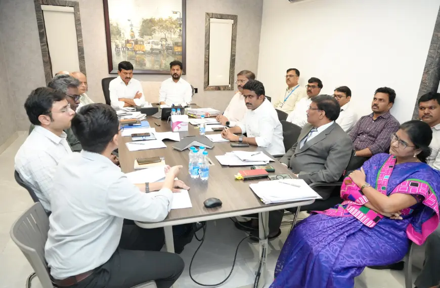
Bhu Bharati is a digital land management system — a portal and mobile app designed to streamline land ownership and mapping records using modern satellite-based technology. It is being launched as a pilot project in Telangana on April 14, 2025, by Chief Minister Revanth Reddy.
The aim is to create a comprehensive land data bank that brings transparency, accuracy, and clarity to land ownership across Telangana. This system is expected to help eliminate disputes, reduce corruption, and make land transactions smoother for both farmers and property buyers.
Which Departments Are Involved?
The Bhu Bharati system is a joint initiative involving multiple state and national agencies:
- Telangana Revenue Department – Oversees land records and administration.
- Telangana Remote Sensing Applications Centre (TRAC) – Provides satellite imagery and geospatial analysis.
- National Remote Sensing Centre (NRSC) – A wing of ISRO, offering technical support for mapping and monitoring.
- Survey of India – Supplies accurate topographic data for land mapping.
- Department of Space – Offers national-level scientific expertise and coordination.
What Is the Expected Outcome?
Here’s what Bhu Bharati is designed to deliver:
- Clear land ownership by identifying who owns which piece of land
- Accurate mapping using satellite images for precise boundaries
- Reduced disputes related to overlapping or unclear land titles
- Digitised records that are secure and accessible online
- Empowerment of farmers through easier access to credit, subsidies, and legal land sale
Faster and more transparent land transactions
