



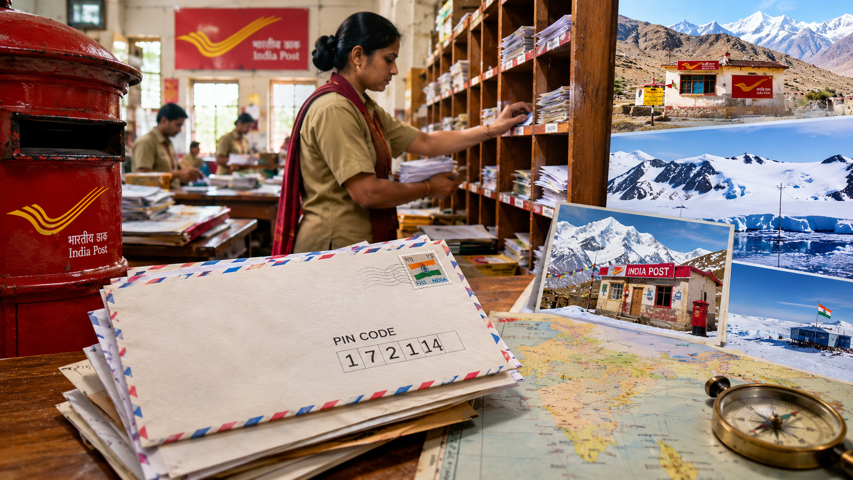
Take a careful look at your address. Now think about how many other people in the country might share some part of it. Almost every state has a Gandhi Nagar, a Station Road, a Shivaji Chowk. Many towns even share names with towns in other states. Before 1972, the clerk sitting in a post office untangled all this by hand, and sometimes the letter was written in a script that was hard to read. Fifty years ago, India’s postal department was struggling with exactly this mess.
When the country became independent in 1947, it had 23,344 post offices, most of them in cities. Over the years the network reached villages, and the number of letters kept growing. But the way mail was sorted stayed the same. Clerks depended on memory, experience and guesswork. In India this was even harder. Letters came in Hindi, English, Tamil, Bengali, Urdu and many other languages. One place name could be spelled three different ways. A letter for one town could easily end up in another town with a similar name, and every wrong turn meant days of delay. The department needed something that did not depend on language. The answer was numbers.
The Postal Index Number, or PIN, was introduced on 15 August 1972. The idea is credited to Shriram Bhikaji Velankar, who was then an additional secretary in the Ministry of Communications and a senior member of the Posts and Telegraphs Board. Velankar was not just a government officer. He was also a Sanskrit poet, and in 1996 he received the President’s Award for Sanskrit. In 1973 he chaired Indipex, the international stamp exhibition held in New Delhi, which brought together 120 countries. He retired from government service on 31 December 1973 and died in Mumbai in 1999. Launching the system on Independence Day was a nice coincidence, but the real work lay in how it was built.
The PIN is shaped like a funnel. It starts wide and narrows down step by step. The first digit tells the zone. The country has nine zones: eight regional ones and one for the Army. Zone 1 covers Delhi, Haryana, Punjab, Himachal Pradesh and Jammu and Kashmir. Zone 8 covers Bihar and Jharkhand. Zone 9 is reserved for the Army Postal Service, which carries mail to soldiers wherever they are posted. The first two digits together point to a sub-region, which is usually a state or a postal circle. The first three digits identify the sorting district, which is headquartered at the main post office of the largest city in that area. The last three digits identify the delivery post office that finally hands over the letter.
Take 456001, the PIN of Ujjain in Madhya Pradesh. The 4 is the western zone. The 5 is the sub-region for Madhya Pradesh. The 6 is the Ujjain sorting district. The last digits, 001, mark the head post office. A sorter sitting anywhere in the country can read these six digits and know where the letter has to go, without reading a single word of the address. A few small details are worth knowing too. Within a sorting district, delivery post offices are numbered in the order they were opened, and 01 goes to the head office. Two neighbouring post offices share only their first four digits. And since the zones run only from 1 to 9, no PIN in India starts with 0.
Every PIN belongs to exactly one delivery post office. That same office receives the mail for all the sub-offices and branch offices under it. So a single PIN can cover a whole cluster of villages. In other words, the PIN tells the sorter which post office the letter should go to, but it does not tell which house. That last step still depends on the postman, who knows the address and the area.
India was not the first country to use a system of numbers like this. The United States had introduced its ZIP code nine years earlier, on 1 July 1963, with the same aim of faster mail sorting. India took the basic idea of a layered numbering system, but built its own structure to suit its geography and its many languages.
In 1972, the PIN was meant for letters, money orders and telegrams. Today we use it for something quite different. We type it into shopping apps to see whether an item can reach our area. We fill it in on bank, SIM and KYC forms. Food delivery and cab apps use it to decide whether they serve our locality. In 2022, the system completed 50 years, and the government marked the occasion with a commemorative postage stamp.
The PIN has one limit. It takes a letter to an area, not to a doorstep. To fix this, the Department of Posts launched DIGIPIN on 27 May 2025, working with IIT Hyderabad and the National Remote Sensing Centre of ISRO. It is a 10-character code based on latitude and longitude, and each code marks a square of about 4 metres by 4 metres. The two codes do different jobs. The PIN tells the sorting system which zone, district and post office should handle a letter. DIGIPIN is meant to tell the delivery person exactly where to stop.
Most government schemes need a campaign to get noticed. The PIN code did not. It simply started working, and slowly became part of every Indian’s address. It began in 1972 as a fix for a sorting-room clerk’s problem, and it is still doing its job today.
Subscribe Deshwale on YouTube
